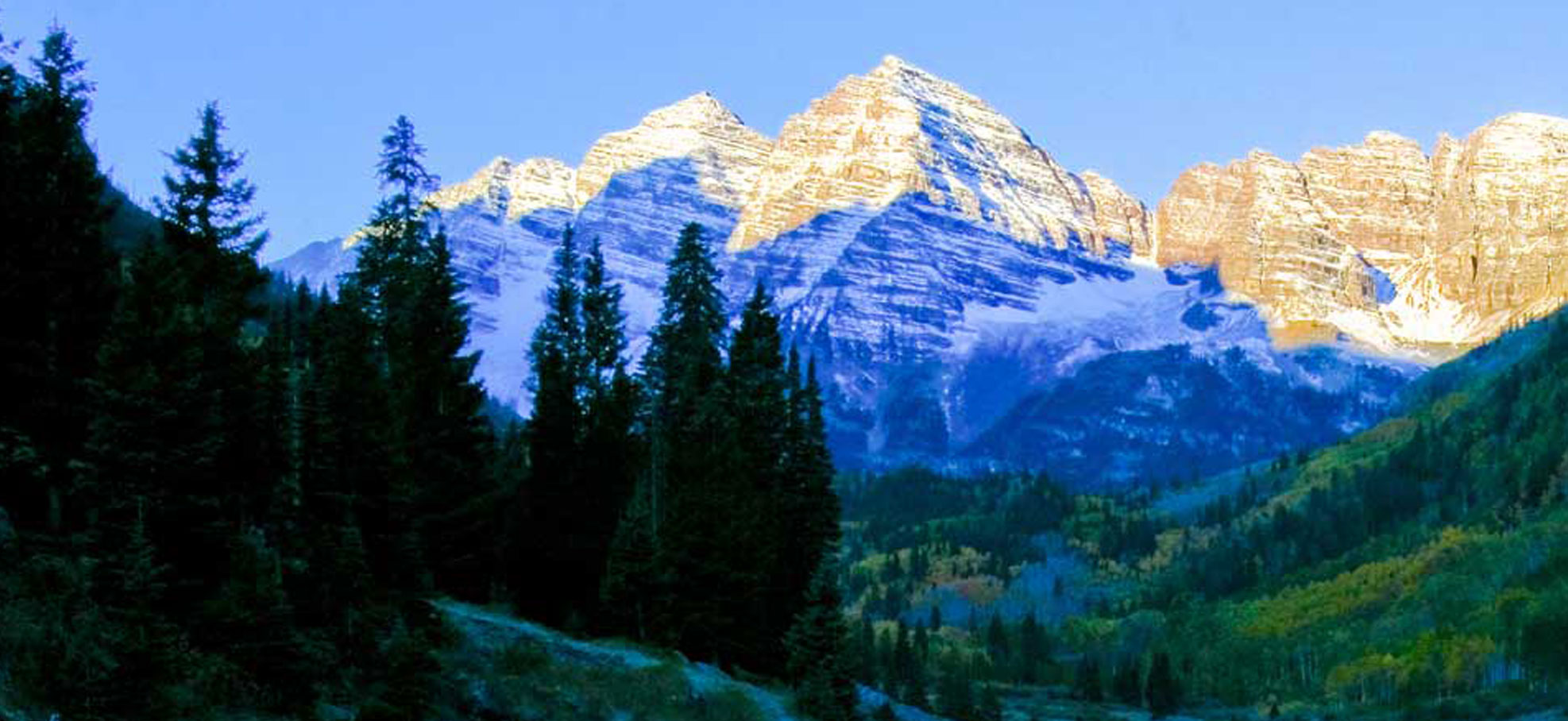
Aspen is a premier destination for outdoor enthusiasts, and it is well-known for its picturesque landscapes, vibrant cultural scene, and world-class skiing. During the warmer months, the Aspen area is also a haven for hikers, bikers, and backpackers. If you are mostly familiar with the mountains for skiing or snowboarding adventures, venturing into the Aspen terrain once the snow has melted is an entirely new experience.
Our Favorite Trails to Explore
Due to Aspen’s diverse terrain, stunning natural beauty, and well-maintained trail systems, Aspen remains a favorite amongst hikers and bikers. We have compiled a list of our favorite trails to explore whether you are a visitor or a longtime resident looking for a new adventure.
Sunnyside Trail
Length: 10.6 miles round trip
Difficulty: Moderate
Highlights: Located close to downtown Aspen, Sunnyside Trail is a popular trail and moderately difficult hike with wide-open views of the valley. Sunnyside connects the trails of Hunter Creek and 4 Corners areas down to the paved Rio Grande bike path. The narrow trails and descending steep terrain offer challenging riding for bike enthusiasts, while hikers will enjoy the lower slopes. The openness of the trail is what gives hikers and bikers the pristine mountain views, but there is limited tree cover here, so be prepared for the sun exposure.
Capitol Creek Trail
Length: 17 miles round trip
Difficulty: Difficult
Highlights: This long hike ascends a pretty valley through aspen groves and a forest interspersed with meadows to Capitol Lake, an alpine jewel nestled beneath the west face of Capitol Peak. The trail is adorned with wildflowers in the summer, adding to its beauty.
The Capitol Creek Trail offers an amazing experience for those looking to explore one of Colorado’s most beautiful wilderness areas.
American Lake
Length: 6.4 miles
Difficulty: Moderate
Highlights: The American Lake trail ascends steep switchbacks through aspen groves along the north side of a gulch for 1.5 miles before reaching spruce-fir forests where it turns south. From this point the trail alternates between level sections and periodic climbs on easy to moderate grades through forest and wildflower-filled meadows with limited views of the surrounding peaks. Generally considered a more challenging hike, this trail is popular with hikers and offers a steep route to striking mountain views.
Conundrum Creek Trail
Length:17 miles roundtrip
Difficulty: Difficult
Highlights: Weaving 2,500 feet up the valley and through the woods and meadows to the beautiful and popular Conundrum Hot Springs, Conundrum Creek Trail is a popular area for backpacking, camping, and hiking. The trail is known for its scenery, wildflowers, and views of the mountains, and is suitable for all levels.
Mt. Hayden looms at the start of the hike, followed by views of Cathedral Peak, Conundrum Peak, and Castle Peak. The trail crosses Conundrum Creek three times before reaching the hot springs, the first crossing at 2.5 miles and the second at 6 miles. The third crossing requires wading through the creek which can be hazardous during the time of the spring runoff, so proceed with caution.
Grottos Trail
Length: 0.6 miles
Difficulty: Easy
Highlights: This short and family-friendly trail is a great option if you are looking for a brief outing with amazing scenery. Offering some of the prettiest water features the state of Colorado has to offer, this trail is one of the more popular spots in the White River National Forest. One of the amazing things about this short and picturesque hike is that it is lined with cold air sinks called grottos. Cold air from under the rocky talus fields on the bluff drops into these grottos to create wonderful, air-conditioned hideouts on hot summer days.
Four Pass Loop
Length: 28 miles
Difficulty: Difficult
Highlights: This 3-4 day backpacking loop around the stunning Maroon Bells climbs four 12,000-ft. passes and traverses some of the most amazing scenery in the Maroon Bells-Snowmass Wilderness area, traversing high alpine passes, wildflower-filled basins, and pristine alpine lakes. Because of its vastness, Four Pass Loop is typically a three or four-day backpacking trip done clockwise, but it can also be done in the opposite direction. Ambitious trail runners may even complete the loop in one day without the weight of a pack, enabling them to move more quickly.
When Is the Best Time of Year To Go Hiking?
If you are eager to explore Aspen’s hiking trails, June through September is the best time of year for Aspen hikes. Compared to the spring months, there are fewer afternoon rainstorms and the trails are dry and free of mud by the time summer arrives. From June to September, shuttles also run from Aspen Highlands up to the Maroon Bells. Some trails allow parking year-round, but many trails only offer parking reservations and camping permits during the summer months.
Explore Our Trails and Stay with Us
If you decide to come to Aspen to explore our amazing trail system, let Alpine Property host you at one of our beautiful vacation rentals. With all of the comforts of home plus the finest amenities, you can enjoy ski-in/ski-out access, mountain views, elegant decor, comfortable furnishings, private hot tubs, pools, fully-equipped kitchens, wood-burning fireplaces, and high-speed internet. We offer rentals in Aspen and Snowmass that can accommodate any group size.
Browse our rentals in Aspen and Snowmass to find your perfect home away from home. When you are ready to book a stay with us, call 1-866-209-1540.


